

What aspects of India’s foreign policy stood out? Describe its key goals in further detail.


eographical Information Systems (GIS) can be a powerful tool for monitoring and analyzing the impacts of climate change. Here are some ways in which GIS can be used for climate change monitoring: Spatial Analysis and Mapping: GIS allows for the integration and analysis of various spatial datasets reRead more
eographical Information Systems (GIS) can be a powerful tool for monitoring and analyzing the impacts of climate change. Here are some ways in which GIS can be used for climate change monitoring:
- Spatial Analysis and Mapping:
- GIS allows for the integration and analysis of various spatial datasets related to climate, such as temperature, precipitation, sea level, land cover, and vegetation patterns.
- By creating detailed maps and visualizations, GIS can help identify and track changes in these variables over time, revealing patterns and trends associated with climate change.
- Vulnerability Assessment:
- GIS can be used to assess the vulnerability of different regions, communities, or ecosystems to the impacts of climate change, such as sea level rise, extreme weather events, drought, and changes in agricultural productivity.
- By overlaying spatial data on population distribution, infrastructure, and natural resources, GIS can help identify areas and communities that are most at risk and prioritize adaptation and mitigation efforts.
- Monitoring and Early Warning Systems:
- GIS-based monitoring systems can be developed to collect, analyze, and visualize real-time or near-real-time data from various sources, such as satellite imagery, weather stations, and sensor networks.
- This can enable the early detection of climate change-related events, such as melting glaciers, deforestation, or extreme weather patterns, allowing for timely response and intervention.
- Modeling and Scenario Analysis:
- GIS can be integrated with climate models and simulation tools to generate projections and scenarios of future climate change impacts, such as changes in temperature, precipitation, sea level, and ecosystem dynamics.
- These models can help policymakers and planners assess the potential risks and develop appropriate adaptation strategies.
- Ecosystem Monitoring and Conservation:
- GIS can be used to monitor changes in the distribution and health of ecosystems, such as forests, wetlands, and coral reefs, which are directly affected by climate change.
- This information can aid in the development of conservation and restoration strategies to protect these vital natural resources.
- Infrastructure Planning and Resilience:
- GIS can support the planning and design of climate-resilient infrastructure, such as transportation networks, water management systems, and energy grids, by incorporating climate change projections and risk assessments.
- This can help ensure that infrastructure investments are adaptive and can withstand the anticipated impacts of climate change.
- Communicating Climate Change:
- GIS-based visualizations, such as interactive maps and data dashboards, can effectively communicate the complex impacts of climate change to policymakers, stakeholders, and the general public.
- This can help raise awareness, facilitate informed decision-making, and engage the public in climate change mitigation and adaptation efforts.
To effectively utilize GIS for climate change monitoring, it is crucial to integrate diverse datasets, including climate models, remote sensing, and in-situ observations, and to continuously update and refine the analysis as new data becomes available.
See less


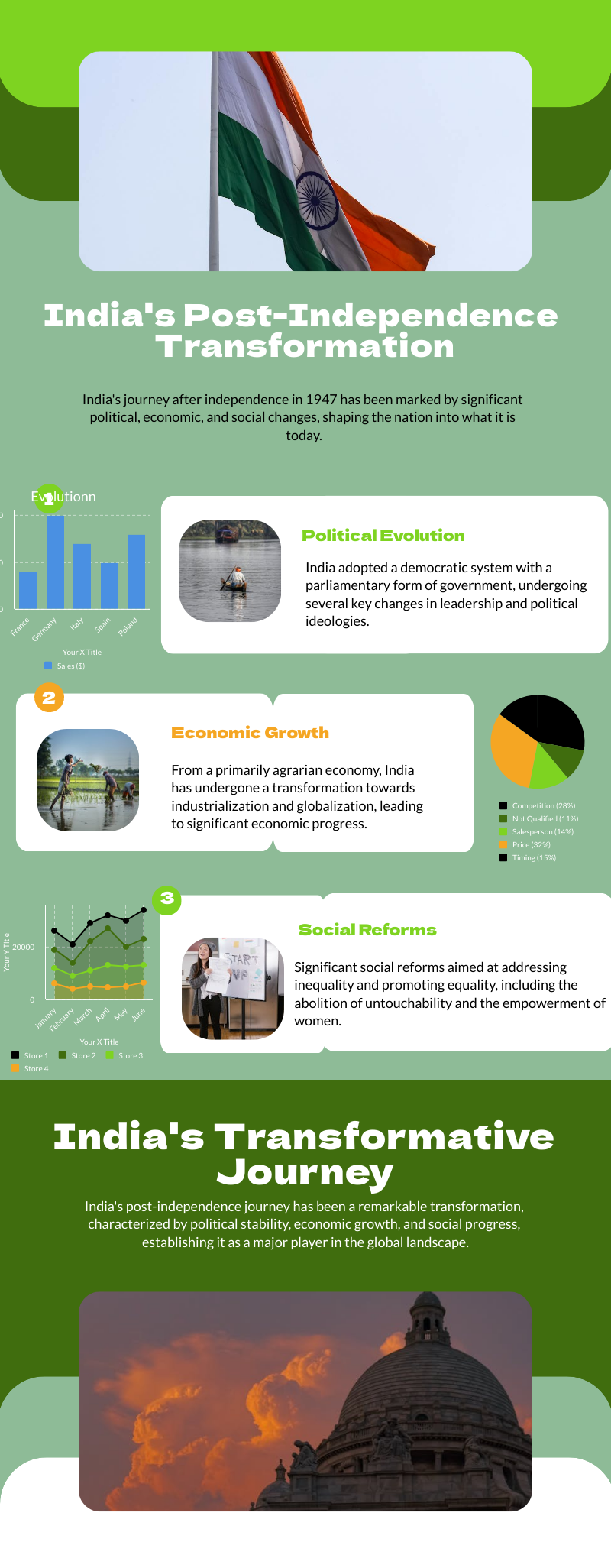



The foreign policy of any country is so much so important that it helps frame the working in the politics of any country . Coming to the view point of India which follows the traditional principles drawing from the history and also focusing on the current global politics . PANCHEEL AGREEMENT : ThRead more
The foreign policy of any country is so much so important that it helps frame the working in the politics of any country . Coming to the view point of India which follows the traditional principles drawing from the history and also focusing on the current global politics .
PANCHEEL AGREEMENT : These principles were formulated in the year 1954 guiding the nation on having mutual respect for each other , non-aggresion , non -interferance , eqality in the internal affairs of ones nation . These principles are the foundational to the nations approach to international relations .
Multinatinational corporations – India is engaging itself into being a active participant in various multilateral organizations such as the being member of UNO ,BRICS , G20 AND ASEAN wherein as a nation it can put forward its voice out there andd framing its foreign policies as required.
See less